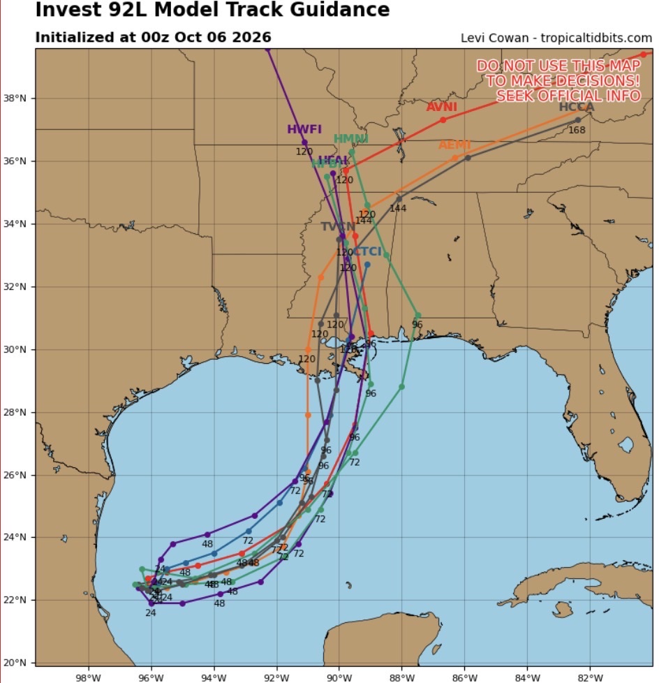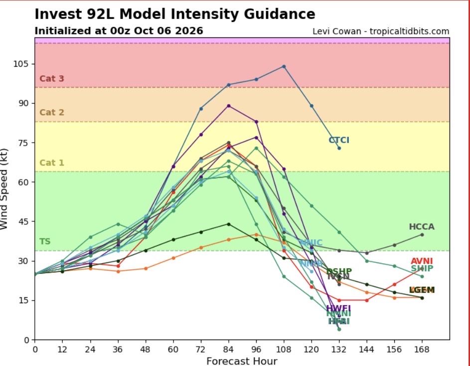
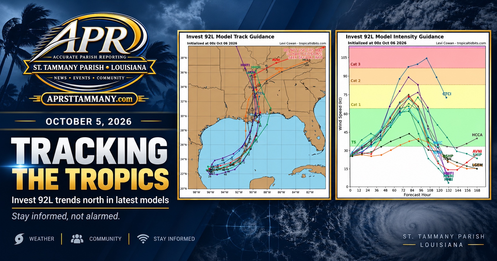
New model guidance for Invest 92L is showing a growing cluster of tracks turning north toward the central Gulf Coast.
Several intensity models also strengthen the system considerably over the next few days, with some reaching hurricane strength. That does not mean a hurricane is guaranteed, and it does not mean St. Tammany Parish is currently forecast to take a direct hit.
APR•St Tammany is sharing this information to keep the community informed, not to create panic. Model guidance can change quickly, especially before a storm has a well defined center.
For now, this is simply something residents along the Gulf Coast should continue watching closely.
APR•St Tammany is not a meteorologist. Always follow the National Hurricane Center and National Weather Service for official forecasts and warnings.
Photos & Records
Use the arrows to review supporting images for this story.